Musings on the Interstate Highway System

We often visit downtown Boston and act like tourists.  Our usual routine is to drive downtown, park on one of the piers in the North End, eat Italian food and then stroll through Christopher Columbus Park, view the seals at the aquarium, circle through Quincy Marketplace, and then back to the car.  The place is packed.  With the removal of the elevated and maligned Central Artery, the sun now shines on large swaths of downtown.  People congregate in the new parks, ride the (temporary) carousel, play in the fountains and generally move easily across the lanes of slow traffic on the new surface artery.  It has become a place for children.  This begs the question, what if the elevated highway through Boston was never built? I highly recommend the recently released book “The Big Roads” by Earl Swift.  Mr. Swift takes us on a journey through the history of the interstate highway system, mostly focusing on the people and the process of its development traced back to the invention of the auto.  The idea of a national system of highways (or is it a system of national highways?) long predates the Eisenhower administration.

The author takes a balanced and objective approach to his analysis of the highway system’s impacts on the landscape and our social fabric.  While smooth, fast and well maintained limited access highways clearly provided the economic engine that fueled the growth of the U.S. after World War II, they also gave us sprawl and edge cities, dramatically increased air pollution, and tore through city centers, displacing thousands of mostly lower class folks who did not have the power or money to fight city hall.

To me, this is the most interesting part of the story as it relates to land development.  The engineers charged with designing the system decided to route highways into and through city centers.  As construction progressed into the 1960’s, public opposition to this strategy grew as did so many other aspects of social activism of that decade.  We take it for granted today that great public works projects will be reviewed in a reasonably open public process, but the role of the highway engineer used to be all powerful in deciding routing and design.  With the advent of the environmental movement and the anti-war movement, the country began to question our own blind faith in government decision making.  As a result, the engineers for the first time had to hold public hearings to vet plans, and then they had to work alongside planners, landscape architects, urban designers and grass roots community activists to achieve consensus.

The result is a blessing and a curse for the designers of today.  While the idea of being able to design a public space without input from the local community is attractive, I readily admit that public comment and review has resulted in the betterment of certain projects I have been involved in.  That’s democracy at its finest.  If you only want to express yourself artistically in a vacuum, become an artist, not an architect.  Even Frank Gehry has to go though the Zoning Board of Appeals.  But I digress.

The removal and burial of the I-93 Central Artery, otherwise known as the "Big Dig", through downtown Boston created a once in a lifetime opportunity for healing the fabric of the city, but the highway is still there (at great cost).   At the end of the book we are left to wonder if, in the 1950’s, the powers that be had decided to terminate the route at the north and south ends of downtown, what the social, economic and political impacts would have been for downtown and the inner suburbs.   San Fransisco is currently finding out.  After the Loma Prieta quake of '89, they tore down the part of the Embarcadero Freeway that cut off downtown from the waterfront.

What would the impact have been on traffic flow throughout the Boston region?  Would 128, our inner loop highway, be a continuous parking lot, widened to 6 lanes in each direction (sounds like L.A.)?  Would the mass transit system be twice its current size, with fixed rail reaching far into the suburbs?  With no central artery highway, would downtown Boston have died in the 1960’s or thrived?

A more pertinent question for today is, can we mend the fabric of city centers by removing these intra-city highways, and what would the impact be on the movement of people and goods?  The creation of the Rose Kennedy Greenway over the buried artery is the beginning of a decades’ long experiment in city building.  I am excited to be living near that laboratory so I can observe the results.

Springfield Reborn?

For the past year, I have been working on an interesting series of projects in Springfield, MA.  Up until then, my only exposure to Springfield had been driving through on I-93, past the Basketball Hall of Fame on my way to Vermont, or whisking through on my way to Six Flags or the Big E.  I knew something about the city.  Located astride the Connecticut River, it the largest metropolitan area in Western Massachusetts.  It was a former major manufacturing center, famously the home of Smith and Wesson and other arms and munitions producers.  Basketball was invented there and Dr. Seuss was born there.  Aside from those, I was ignorant.

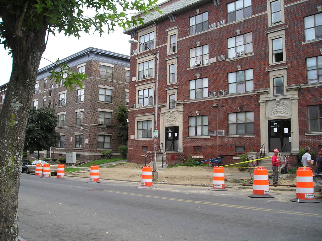
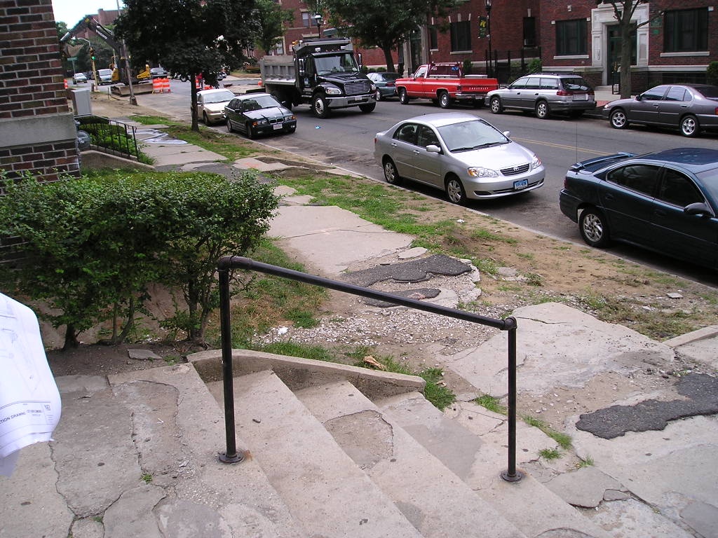
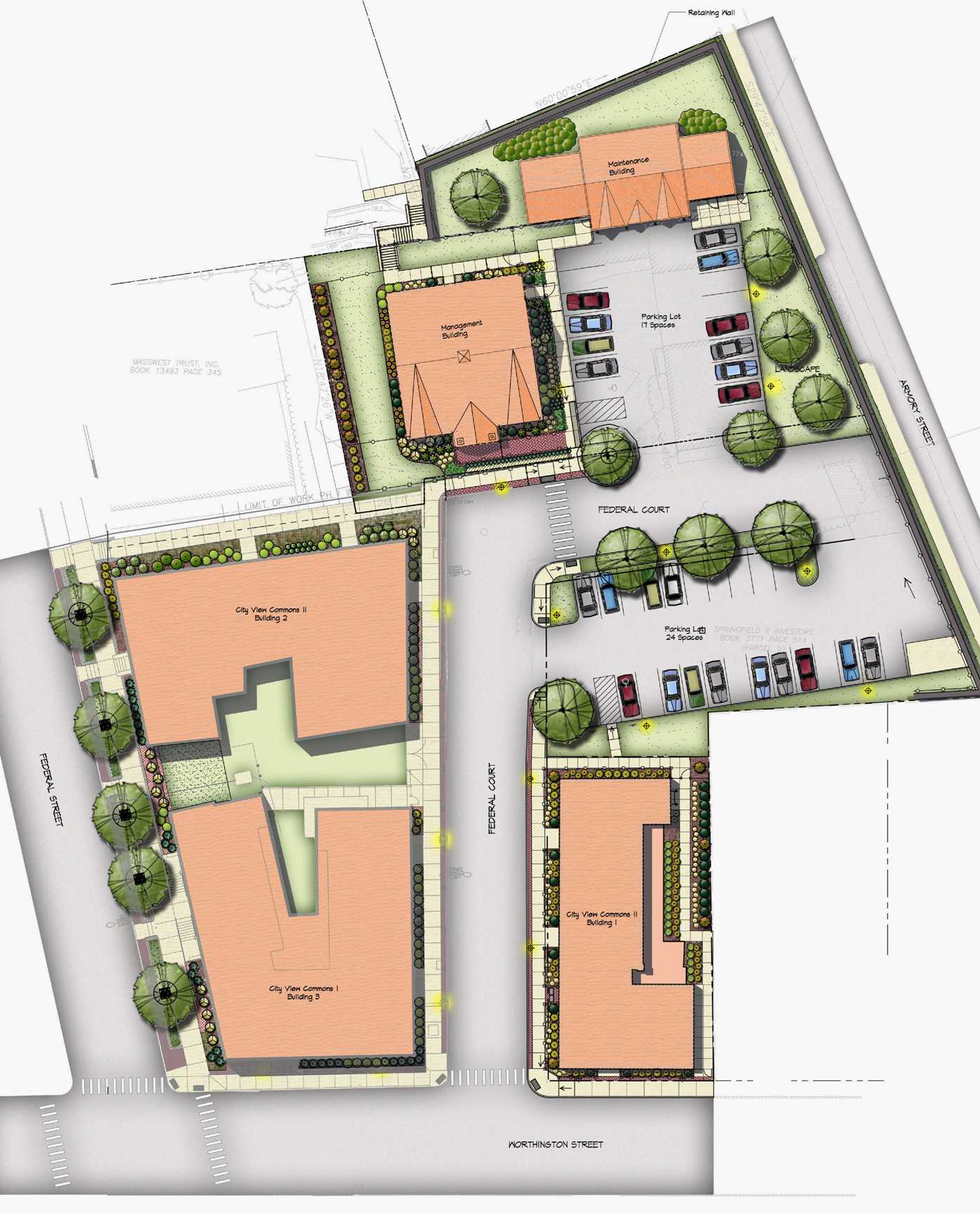
Getting off the highway was eye-opening.  My project involved renovation of multiple apartment buildings in the City's eastern neighborhood in proximity to the historic Springfield Armory.  Upon first arriving at the scene, I viewed a series of 4 and 5 story brick apartment blocks, built in the early 20th century to house factory workers.  If you squint, you would think "hip, urban neighborhood".  The buildings are built close to the street line, forming a pleasing, well proportioned streetscape and sense of enclosure.  If they were in Boston, these apartments might be in the Fenway or Jamaican Plain and command $2-3k per month in rent.  Open your eyes wider and walk around a bit (but not alone, of course), and see a community ravaged by crime, drugs and despair.  The decay is stunning.  My client is the partnership of a developer and general contractor who buys, renovates, holds and manages these buildings, many of them already condemned by the City. 

But now a developer is willing to invest in these neighborhoods.  Through mostly government financing but executed by private companies, resources are being brought to the neighborhood.  I think it is a terrific example of a public private partnership. 

As I explore the area a bit further, I discover Forest Park, an historic neighborhood of fabulous Victorian homes within walking distance of downtown and adjacent to a huge city park.  I envision the captains of industry building these homes in the turn of the century, actively engaged in civic activities and supporting the cultural development of the city.  The neighborhood was even laid out in part by Frederick Law Olmstead, patron saint of Landscape Architecture. 

While some of the neighborhood is still in good condition, many of the houses are boarded up, abandoned and dilapidated.  Again, spin me around and drop me here without knowing I was in Springfield, and if I squint, I would swear I was in Chestnut Hill!  How does a city go from such prosper to such despair?  Obviously the decline in manufacturing has a great deal to do with it, followed by the flight of the middle class to the outer suburbs. 

While significant investment has come to the business district of the city, it seems to me that the neighborhoods close in to the downtown have been neglected.  Will the ongoing revitalization of downtown bring the middle class back to inner ring communities and foment a renaissance? 

The Urban Land Institute got involved in Springfield in 2006.  That year they landed in town and had a 5 day Charette to provide a vision and guidance for the City and neighborhoods.  The ULI Chief Executive recently gave a talk in which he described opportunities for development in inner ring suburbs.  The ULI report from 2006 and the talk given by Mr. Phillips just last month coincide in their call for reinvestment in inner ring neighborhoods.  Indeed, these communities are ripe for opportunity.  Let’s hope his crystal ball is accurate, as I see incredible potential for the “City of Homes”.

Student Housing Summit

I attended the Student Housing Summit put on by Bisnow on May 5. The panel discussion was informative and included representatives from Boston University, Northeastern and MIT, as well as a private developer, a representation from a design build outfit and one from the state dormitory authority.The participants noted the significant growth of construction of on campus housing in New England colleges. The state authority has added 40% more beds over the past 10 years and now total over 14,000. The private institutions reported that adding on campus residence halls increases student retention and enhances alumni giving. Obviously it is a revenue producer in the short and long term. In addition, studies have shown that students who live on campus for at least 1 year have significantly more academic success than commuters. Private sector development of student housing is becoming a more popular delivery method for institutions. Institutions are partnering with private developers to build housing on or nearby campuses. The administrations like these arrangements because they don’t need to access their own capital for the development. Developers like it because of the low risk of having a built in tenant base. Without partnering with the administrations, private developers are also building market rate units that cater to student needs nearby and adjacent to campus. Regarding trends in sustainable design, the demand for LEED construction is apparently driven by the parents (not the students, surprisingly) and the fact that sustainability for institutional design is the standard at this point. Colleges without LEED buildings are considered to be falling behind the times. The additional cost of sustainability is tempered by the long term energy savings achieved. It seems like many of the institutions are just trying to keep up with the Joneses in terms of amenities. Apartment style living, work out space, food courts and laundry service abound in today’s residence halls (God forbid you call them ‘dormitories’!) Asked to provide a take away message for the attendees, one panel member suggested ‘it’s all about the bathrooms’.

Campus Planning - Converting Streets to Landscapes

By posting a simple query on the SCUP group on Linked In, I generated an energetic response regarding examples of college campuses that have converted city streets into shared space or pedestrian only landscapes.  So much so that the SCUP blog summarized the conversation.  Here is the link.  I asked the question because I am exploring the conversion of a Town street into a pedestrian way at a local college.   The response was tremendous from across the country.  American colleges and universities have been taking control of public ways since time immemorial as they have expanded.  I have started a collection of images in this vein.  Please forward any pictures to me or post links if you have them.